Course Details

Home - Course Details

12-Month Diploma in Geographic Information Systems (GIS)

Description

Benefits

  • Build strong GIS fundamentals and software proficiency in both open-source and proprietary tools

  • Perform high-level spatial analysis, LULC classification, raster modeling, and terrain analysis

  • Integrate satellite data for vegetation, water, urban, and soil mapping

  • Apply GIS across domains like urban planning, agriculture, forestry, disaster management, and mining

  • Automate repetitive GIS workflows using ModelBuilder and Python

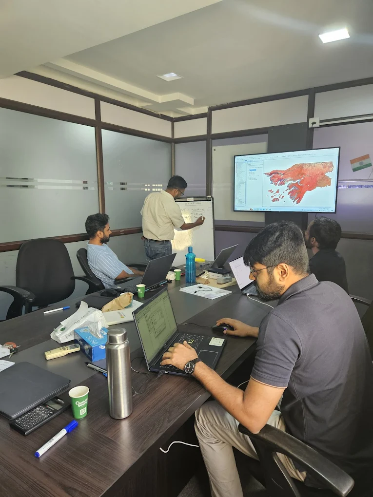
Ajit Kumar Swain, M.Tech (Geospatial Technology)

Ajit Kumar Swain is the Founder and Course Instructor at Space Borne, where he leads GIS and Remote Sensing training initiatives. With deep expertise in satellite image analysis and geospatial technologies, he is passionate about making spatial science education accessible and practical for students, researchers, and professionals worldwide.

Course Details:

Course Price:

₹ 84999

Instructor

Ajit Kumar Swain & Team

Course Duration

12 Months

Lessons

480

Language:

English, Hindi, Hinglish

Certifications

Digital, Physical (Add-on)

Best GIS Training Institute in India

Quick Links

Help Centre

About Us

Terms of Use

Our Team

How It Works

Accessibility

Ā© 2025 – Space Borne

WhatsApp
Hello! šŸ‘‹
Huge Discount on Fees with Special Winter Batch?
Get Details
error: Content is protected !!