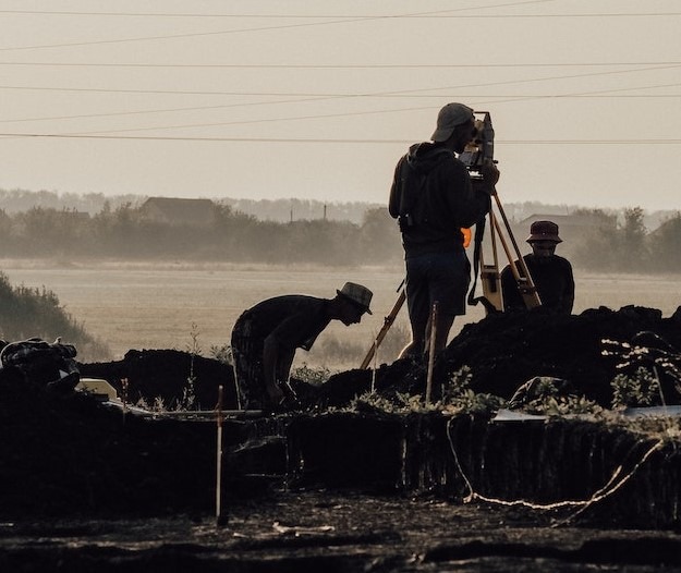
Geospatial Internship & Training
Are you passionate about exploring the world from above and harnessing the power of geospatial technology to solve real-world problems? If so, Space Borne invites you to embark on an exciting journey through our Internship Program in Remote Sensing & Geographic Information Systems (GIS).
At Space Borne, we believe in the transformative potential of space technology, and we are dedicated to nurturing the next generation of geospatial experts. Our internship program offers a unique opportunity for students and aspiring professionals to gain hands-on experience in the cutting-edge fields of remote sensing and GIS.
Our team of seasoned professionals in remote sensing and GIS will mentor you throughout your internship, providing valuable insights, guidance, and support.
Internship Opportunities
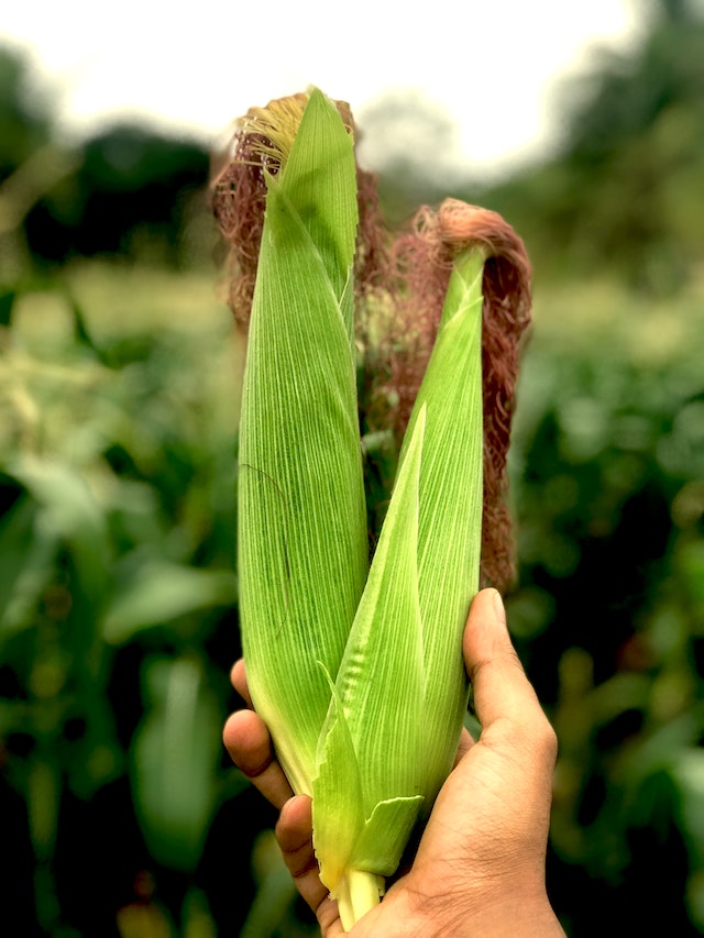
Agriculture
Are you intrigued by the intersection of technology and agriculture? Our Remote Sensing & GIS Internship in Agriculture offers a unique opportunity to delve into the exciting world of precision agriculture and sustainable food production.
As an intern, you’ll have the chance to work at the forefront of innovation, harnessing remote sensing satellites, geographic information systems (GIS), and data analytics to revolutionize the way we cultivate and manage our crops.
Whether you’re passionate about improving yield predictions, optimizing resource allocation, or enhancing crop health monitoring, this internship will empower you to make a meaningful impact on the agricultural landscape. Join us in redefining the future of farming while gaining invaluable skills and experience in a field poised for tremendous growth and transformation.
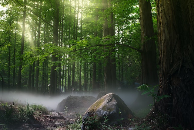
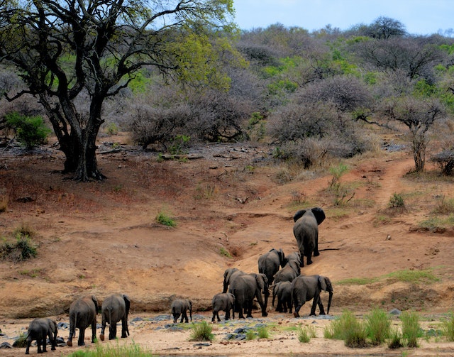
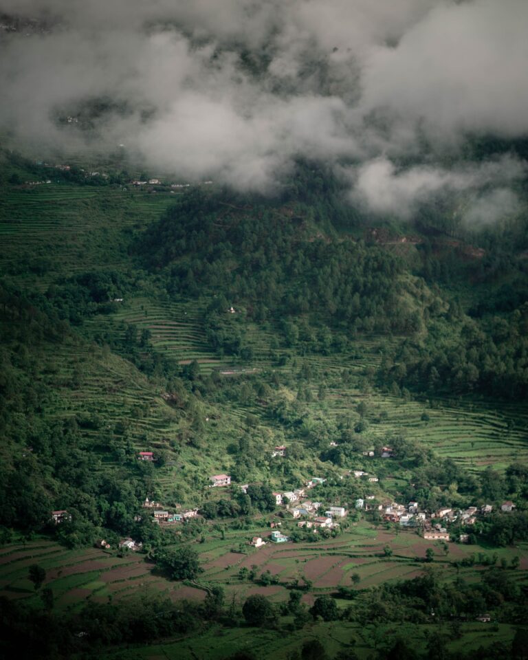
Forestry
Delve into the heart of environmental stewardship and forest management with our Remote Sensing & GIS Internship in Forestry.
If you’re passionate about preserving our planet’s lush forests, this internship offers a unique opportunity to apply cutting-edge technology to the world of conservation. As an intern, you’ll work on projects that utilize remote sensing data and geographic information systems (GIS) to monitor forest health, track deforestation, and contribute to sustainable forestry practices. Whether your interests lie in mapping biodiversity, mitigating the effects of climate change, or improving resource management, this internship will empower you to make a tangible impact on our planet’s most precious ecosystems.
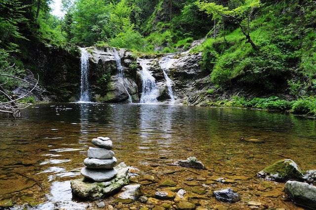
Water Resources
Are you fascinated by the intricate dynamics of Earth’s water resources and the vital role they play in our world?
Our Remote Sensing & GIS Internship in Water Resources offers an exciting opportunity to explore the intersection of technology and hydrology.
As an intern, you’ll embark on a journey to better understand and manage our planet’s water systems using cutting-edge remote sensing and geographic information systems (GIS).

Soil and Water Conservation
Are you passionate about preserving our natural resources and mitigating the impact of erosion and sedimentation on our lands and waters? Our Remote Sensing & GIS Internship in Soil and Water Conservation Engineering invites you to dive deep into the world of sustainable land and water management. As an intern, you’ll have the opportunity to harness the power of remote sensing technology and geographic information systems (GIS) to develop innovative solutions for soil erosion control, watershed management, and sustainable agricultural practices. Whether your interests lie in mapping soil properties, analyzing land use patterns, or designing conservation strategies, this internship will equip you with the tools and knowledge to make a meaningful impact on environmental sustainability. Join us in the pursuit of a greener, more resilient world while gaining hands-on experience in a field critical for the preservation of our planet’s landscapes and water resources.
Civil Engineering
Are you intrigued by the seamless integration of technology into civil engineering, and do you aspire to play a pivotal role in shaping the infrastructure of tomorrow? Our Remote Sensing & GIS Internship in Civil Engineering provides a unique opportunity to bridge the gap between traditional engineering and cutting-edge geospatial technology. As an intern, you will be at the forefront of innovative projects that leverage remote sensing and geographic information systems (GIS) to enhance infrastructure design, monitor construction progress, and optimize urban planning. Whether your interests lie in analyzing terrain for optimal construction sites, modeling transportation networks, or managing environmental impact assessments, this internship will equip you with the skills and expertise to drive progress in the field of civil engineering. Join us in the pursuit of smarter, more sustainable cities and infrastructure while gaining hands-on experience in a dynamic and forward-thinking sector.
Rural Development
Are you passionate about making a positive impact in rural areas and empowering communities to thrive sustainably? Our Remote Sensing & GIS Internship in Rural Development offers a unique opportunity to merge your passion for rural empowerment with cutting-edge geospatial technology. As an intern, you will engage in projects that utilize remote sensing data and geographic information systems (GIS) to address critical challenges faced by rural communities, such as land use planning, natural resource management, and infrastructure development. Whether you are interested in enhancing agricultural practices, improving access to clean water, or supporting rural education and healthcare, this internship equips you with the tools to drive meaningful change in underserved areas. Join us in the mission to create more resilient and prosperous rural communities while gaining hands-on experience in a field that embodies the spirit of sustainable development.
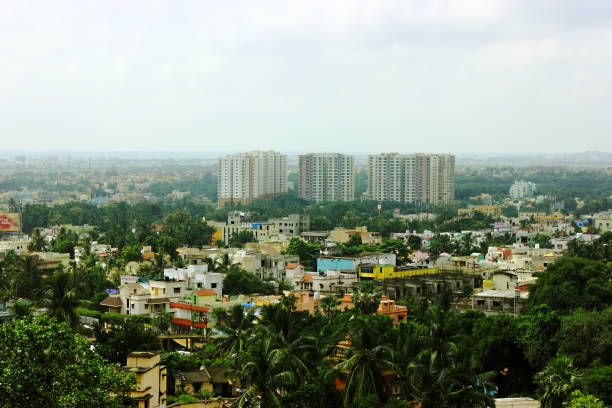
Urban Planning
Are you passionate about creating more sustainable, efficient, and livable urban environments? Our Remote Sensing & GIS Internship in Urban Planning offers a unique opportunity to be at the forefront of urban transformation through the integration of geospatial technology. As an intern, you will engage in projects that leverage remote sensing data and geographic information systems (GIS) to revolutionize urban planning, transportation, and infrastructure development. Whether your interests lie in optimizing public transit systems, analyzing urban growth patterns, or enhancing disaster resilience, this internship equips you with the skills and knowledge to shape the cities of tomorrow. Join us in the pursuit of smarter, more resilient, and environmentally conscious urban landscapes while gaining practical experience in a field crucial for the future of urbanization.
Enviornmental Science and Engineering
Are you passionate about the environment, eager to contribute to the preservation of our planet, and dedicated to finding solutions to today’s pressing environmental challenges? Our Environmental Science Internship Program provides a unique opportunity to immerse yourself in the world of environmental research and conservation. As an intern, you will work alongside our team of experts on a wide range of projects spanning topics such as biodiversity conservation, climate change mitigation, water quality assessment, and ecosystem restoration. This internship not only offers valuable hands-on experience but also the chance to make a meaningful impact on the future of our planet. Join us in the journey to better understand and protect our natural world while gaining practical skills and knowledge in the field of environmental science.